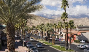
The International Boulevard corridor, also known as State Route 185 and until the 1990s named East 14th Street, was once a thriving, vibrant area of Oakland, served by streetcars and well-connected to the rest of the City. One area of the corridor - Fruitvale - was even considered to be Oakland's second downtown. However, since the 1950s, with the demise of the streetcars, increased suburbanization in surrounding areas, decreased investment in the urban neighborhoods along International Boulevard, and a number of other regional and national trends, International Boulevard has experienced a general decline in neighborhood amenities, safety, and economic viability.
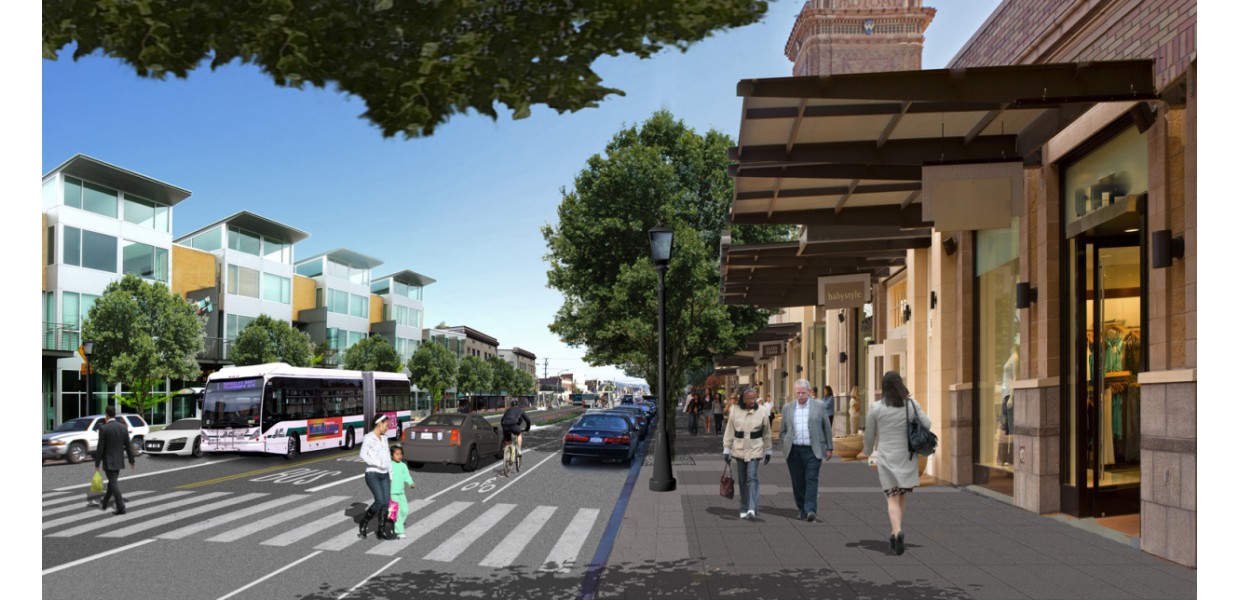
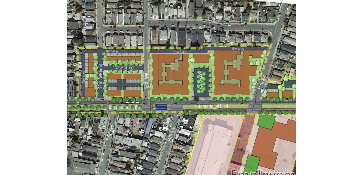
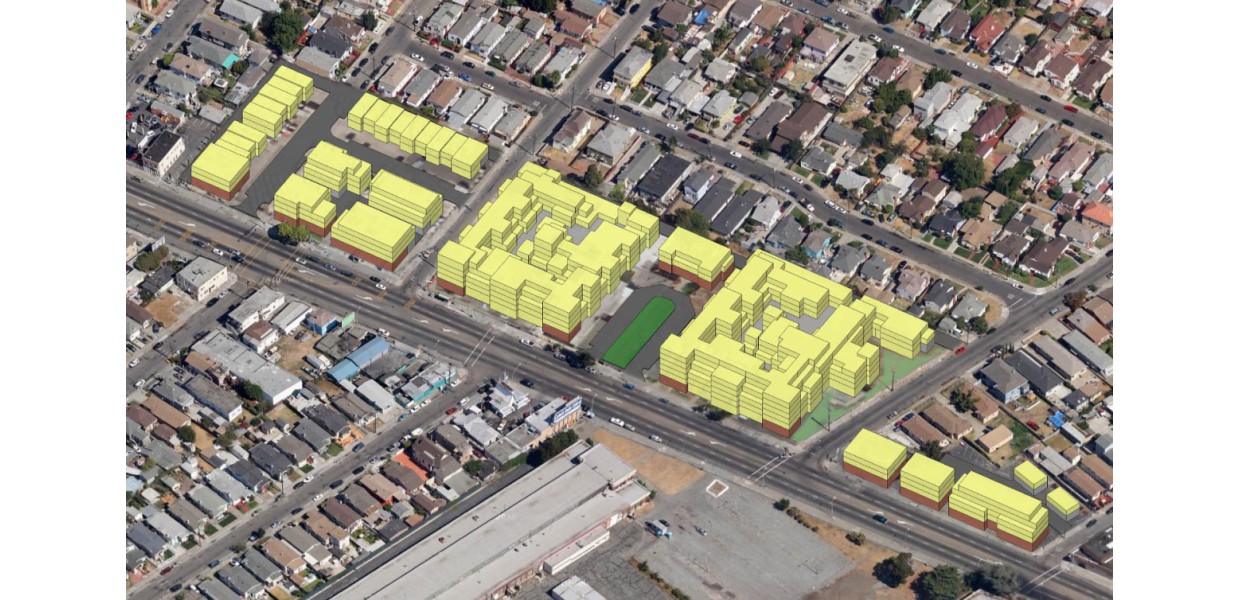
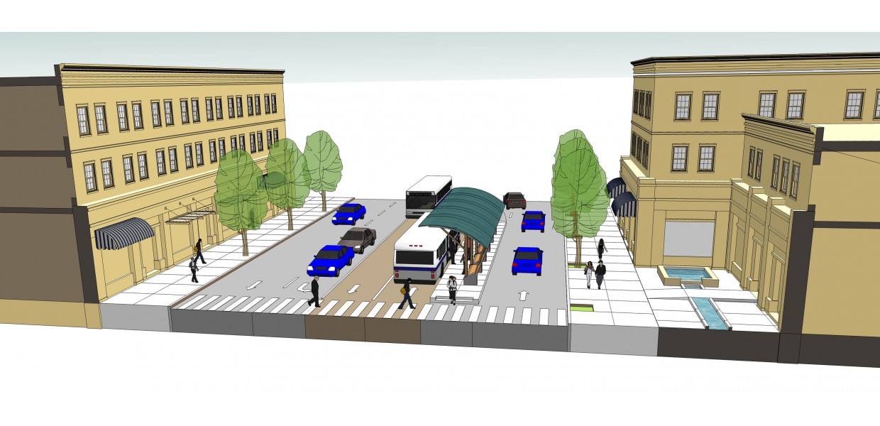
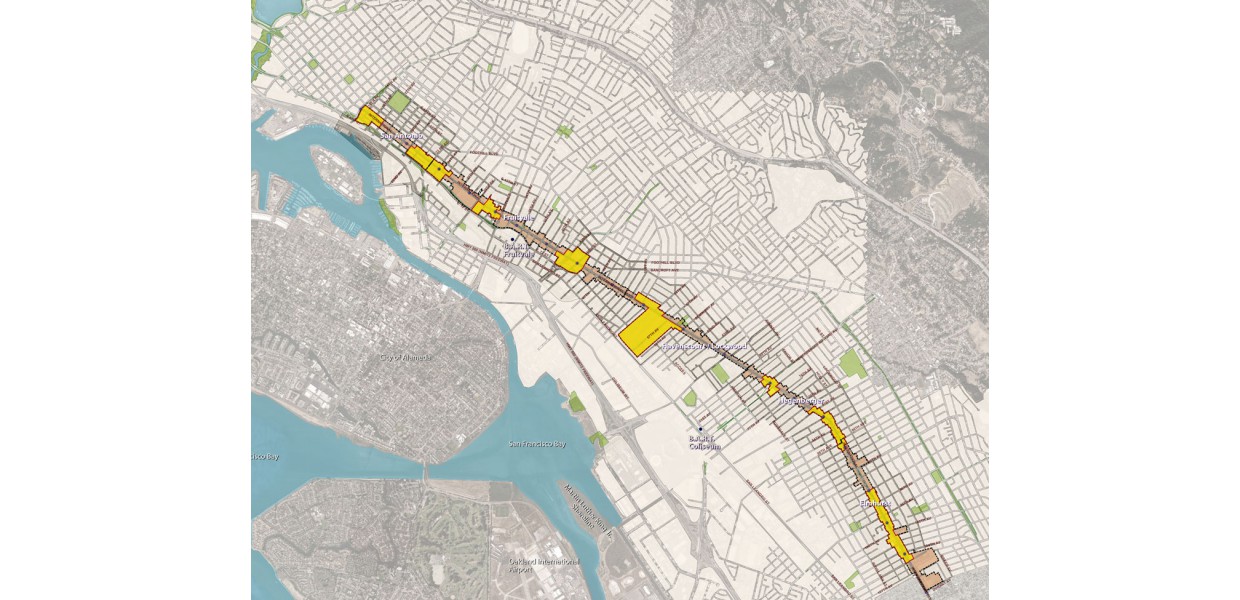
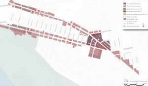
In 2010, the City of Oakland selected the team of Raimi + Associates and Sargent Town Planning to prepare a vision plan and zoning code framework for transit-oriented development along this six-mile corridor planned for a new bus rapid transit (BRT) line. The planning area includes many of Oakland’ most economically disadvantaged neighborhoods, and the core intent of the plan is to leverage the value and amenity represented by the substantial public investment in improved transit for the benefit of the residents, businesses and property owners in those neighborhoods.
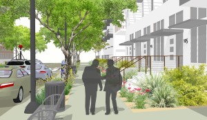
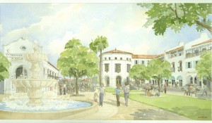
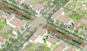
Through a series of public workshops, the team helped the community to envision and discuss a broad range of community wants, needs, and concerns, and to focus on the role that transit-oriented infill development might play in catalyzing positive, enduring change along the corridor. The Plan recommends focusing near-term initiatives and investments in compact catalytic focus areas centered on selected BRT station locations, with a strategic combination of public actions – streetscape improvements, parking management, enhanced maintenance and policing – together with targeted private investment and community based programs and initiatives to generate tangible improvements that can spur further reinvestment.
The team’s outreach work establishing a positive dialogue with residents of the diverse neighborhoods and ethnic constituencies was recognized by the American Planning Association with a Grassroots Award for excellence in public outreach. The plan was also instrumental in the City's obtaining a $1,000,000 grant to initiate implementation.